As I pulled my foot out of the mud that came up to my knees, I realised it was no longer wearing a flipflop. I put my foot back in to try and feel around for it but couldn’t. The other flipflop was lost much the same way. I continued the walk barefoot. The hike was quite pleasant – the road was made of soft sandy mud. I’d parked up the bike when I’d come to the first flood, I’d tried driving through it but chickened out when the water got as deep as the exhaust pipe, I wasn’t sure how much water my moped could handle even though I’ve seen people in vietnam driving totally submerged mopeds.
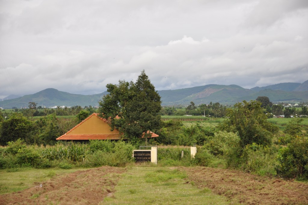
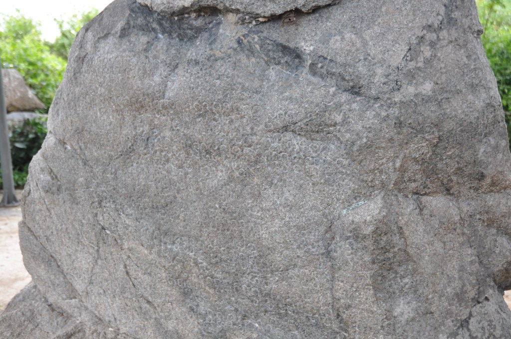
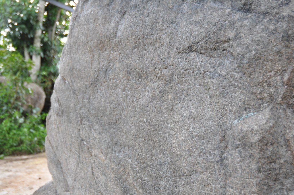
I had read online that An Khê has a rock carved with ancient Chăm script. However I didn’t know exactly where it was. I’d be driving around Lu Tuong ward for a while looking. Some locals were unhappy to have a “tây ba lô” driving around (western backpacker). Eventually I found a sign for the “bia ký” (stele).
When I got to the location, I reported to Google Maps where it is so future curious people don’t need to spend quite so much time driving around the fields. Although I can’t do anything about the amount of mud!
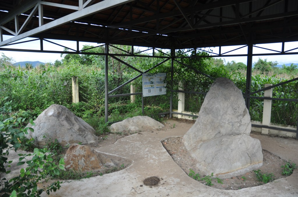
For me, learning about this stele was significant because it’s proof of another layer to An Khê’s history. I’ve written before about the Tây Sơn dynasty and the unique situation the town had in the war of the 1960s and 70s. But here is proof that the area was significant to the Chăm. The stele was only discovered in 2010 and as a tourist site is still under development. It’s an exciting indication that there may still be more to discover. The layers of history in Gia Lai are still being understood.
I got back to the bike and luckily had my running shoes to put on. It would have been a bit of a hairy drive barefoot! I went to Tây Sơn Thượng Đạo again to try getting some arty photos. It’s always worth a visit there every trip to An Khê!
Appendix
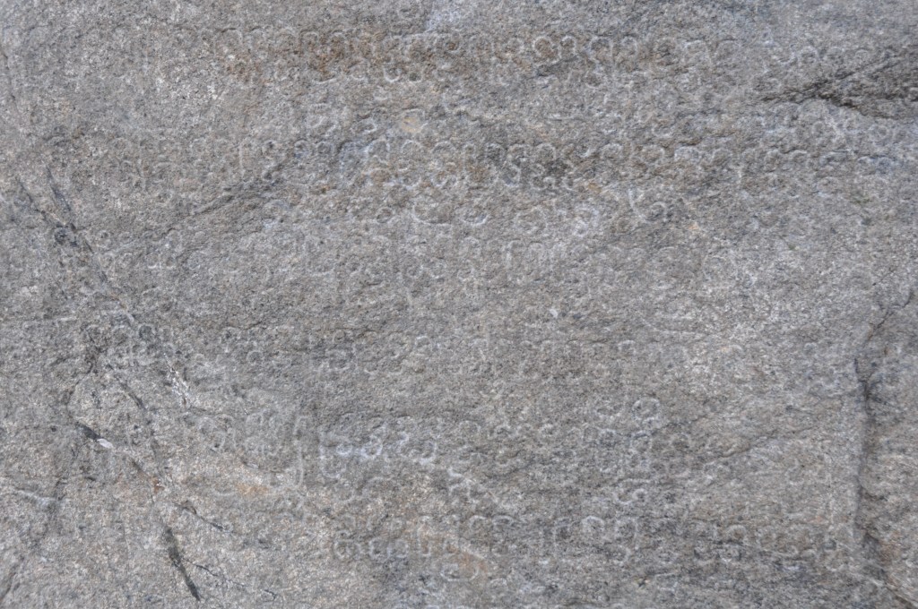
Details of the Stele
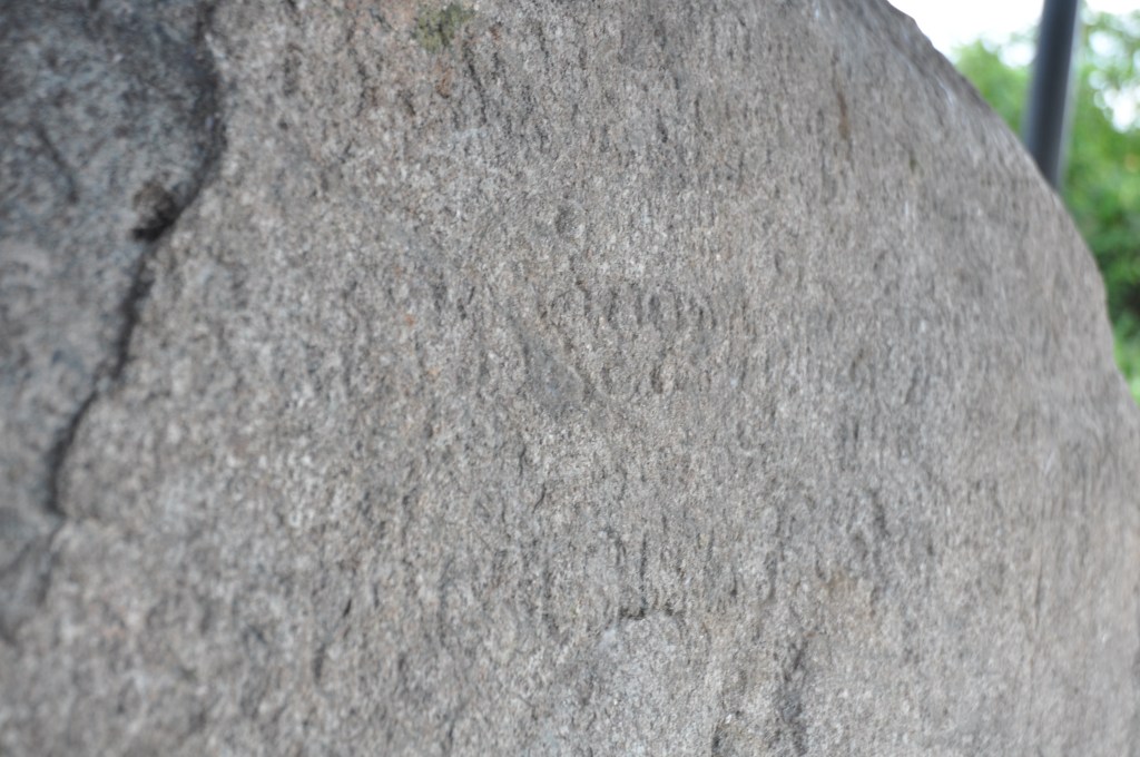
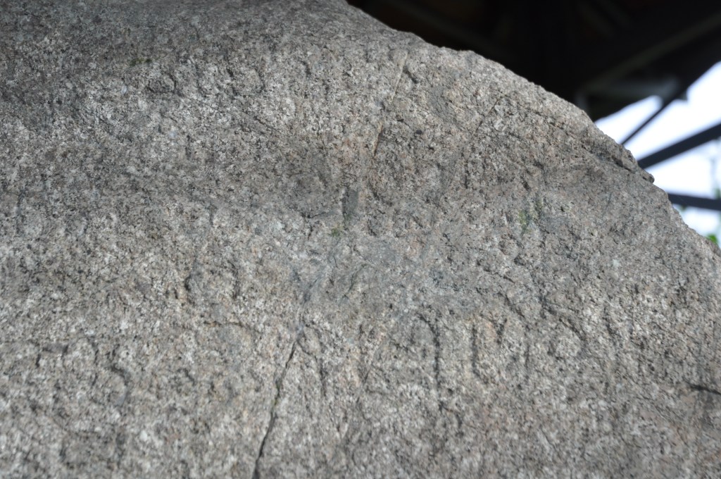
The stele – given the label C. 237 – The stele dates itself as 1360 Saka which is 1438CE. The engraving was discovered in 2010 when locals reported to the district council that they’d found something interesting. You can find details of what it actually says here . It talks about “taking the name of Indravarman” I think this is Indravarman VI some sources agree, others do not but his reign fits the date of the stele. The Samṛddhipurī mentioned is taken by many to be at modern day An Khê, the area where the stele is located. The Hayāv river has not been identified but most people assume it is the Ba.
Hail! There was a supreme sovereign of kings, son of His Majesty (yāṅ poṅ ku) Jayasiṅhavarman of the line of Vr̥ṣu, my lord (pu-pov ku) of the city of royal residence (rājagrāma) Ṅauk Glauṅ Vijaya. [When] this one (dunan) took the kingship, the Viets (yvan) and the Khmers (kvīra) attacked openly (tupak), wishing (khin) to make war.
⟨A4–A6⟩ And in [the year] thirty-two, he received consecration, taking [the name of] Indravarman,1 awarded various estates (bhaṇḍāra), by his grace (kanāya) had a prince crowned (pa-tryak),2 founded (the temple called) Samr̥ddhipurī.3
⟨A6–A8⟩ In the year of the Tiger (vyāghra-nakṣatra),4 he founded temples (maṇḍīra) and built houses of letters5 [on] various roads (adhvā), laid dams across the Hayāv river, founded the capital.
⟨A8–B3⟩ It happened that he met (madā ka tmuv) the Montagnards (kirendra)6 a total (vap) of twenty times in Hayāv … he again put the various social classes (varṇa) in order. It happened that he obtained this white [excellent elephant].7 He washed (putta) himself at the mouth of the Air Laṅuv. In (the year) thirty-eight [was built] the house of letters of this stone inscription on the royal road. [It was in the year Śaka] 1360.
